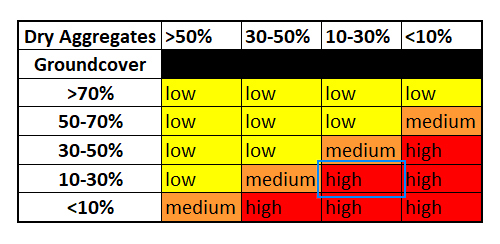

Second visit during the 2021 Summer season to reassess the Victorian site locations from Autumn. Monitoring erosion risk based on dry aggregates and groundcover percentages.
This farm is located west of Merbein South in the Millewa.
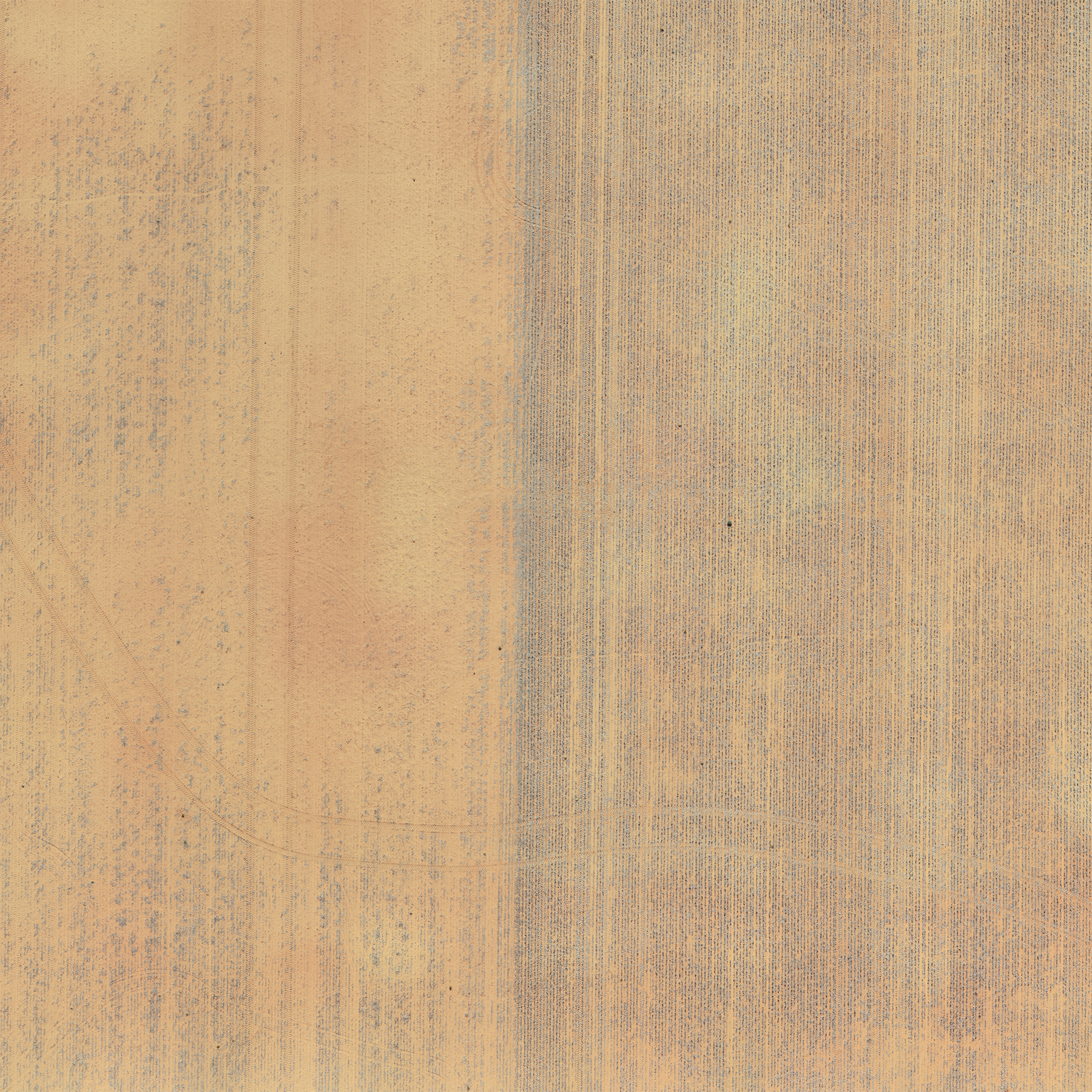
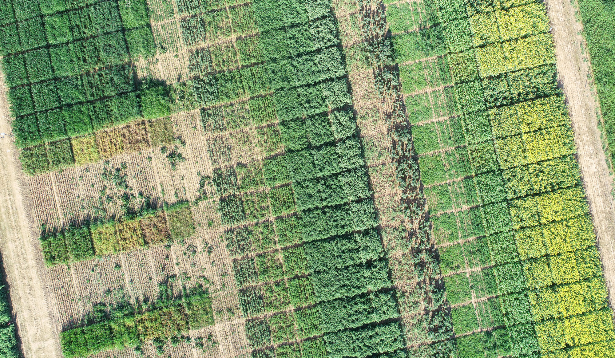
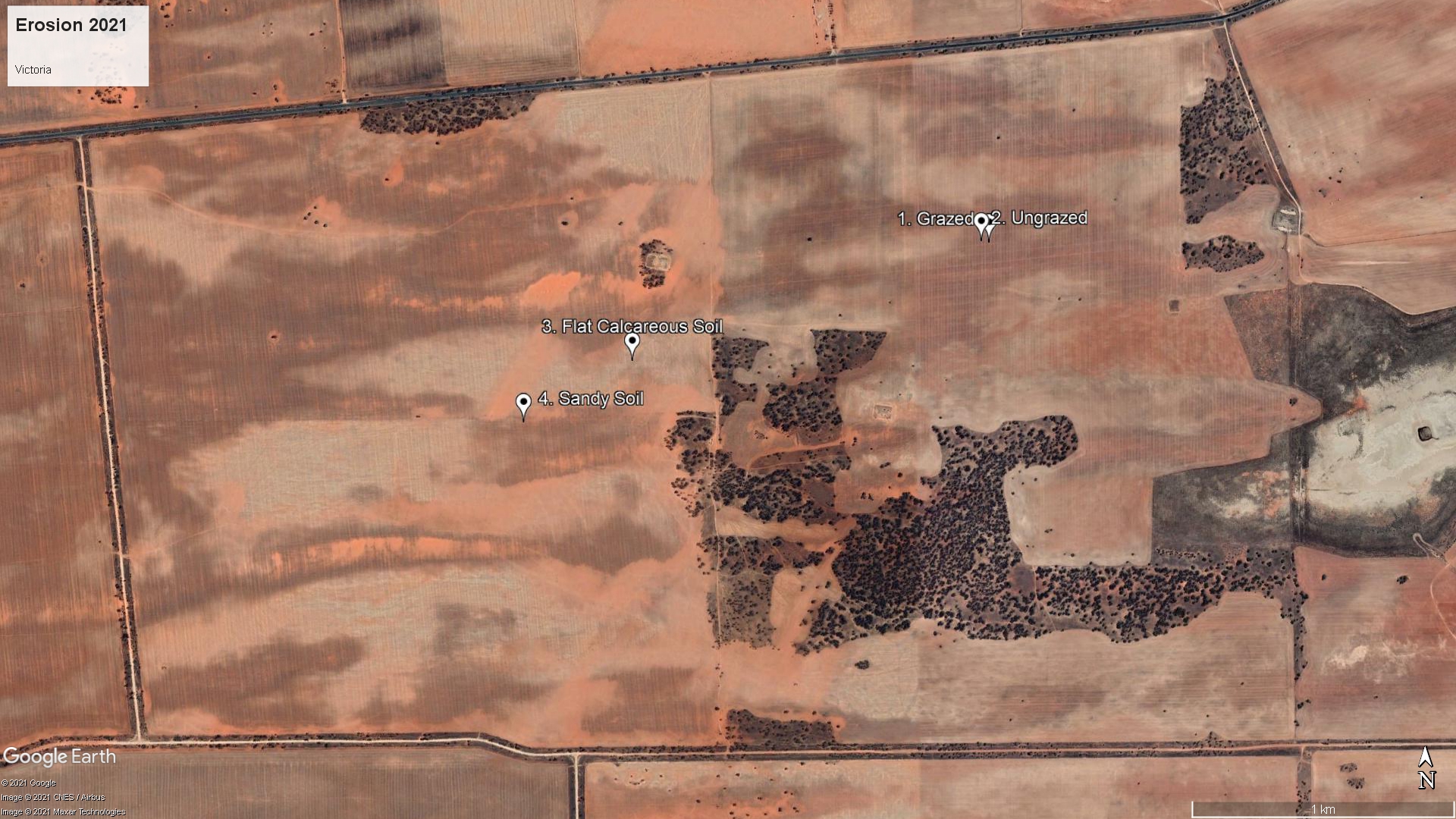
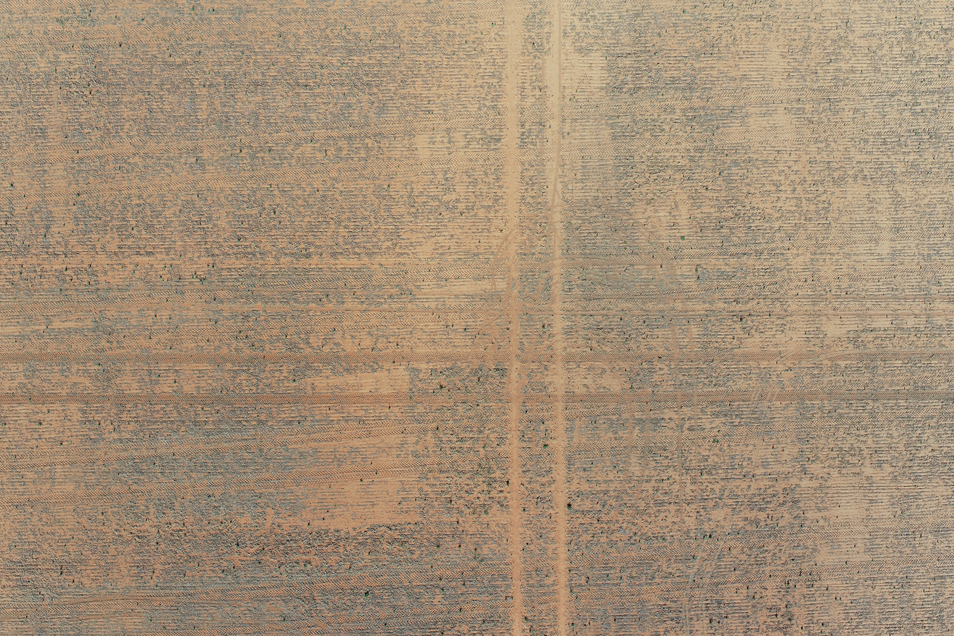
Victoria, Grazed and Ungrazed
1. Grazed is a sandy loam which was bare through 2019, but established a crop in 2020 and where electric fencing was used to protect the eastern side of the paddock from grazing. 2. Ungrazed is a sandy loam on the western grazed side of the paddock directly adjacent to 1. Grazed. Summer monitoring showed 1. ground cover of 46% and dry aggregate of 24% with a medium risk of erosion and 2. Ungrazed with ground cover of 67% and dry aggregate of 39% with a low risk of erosion


Summer 2021 – 360 Virtual Site
Compare to Autumn 2021 – Initial site visit here
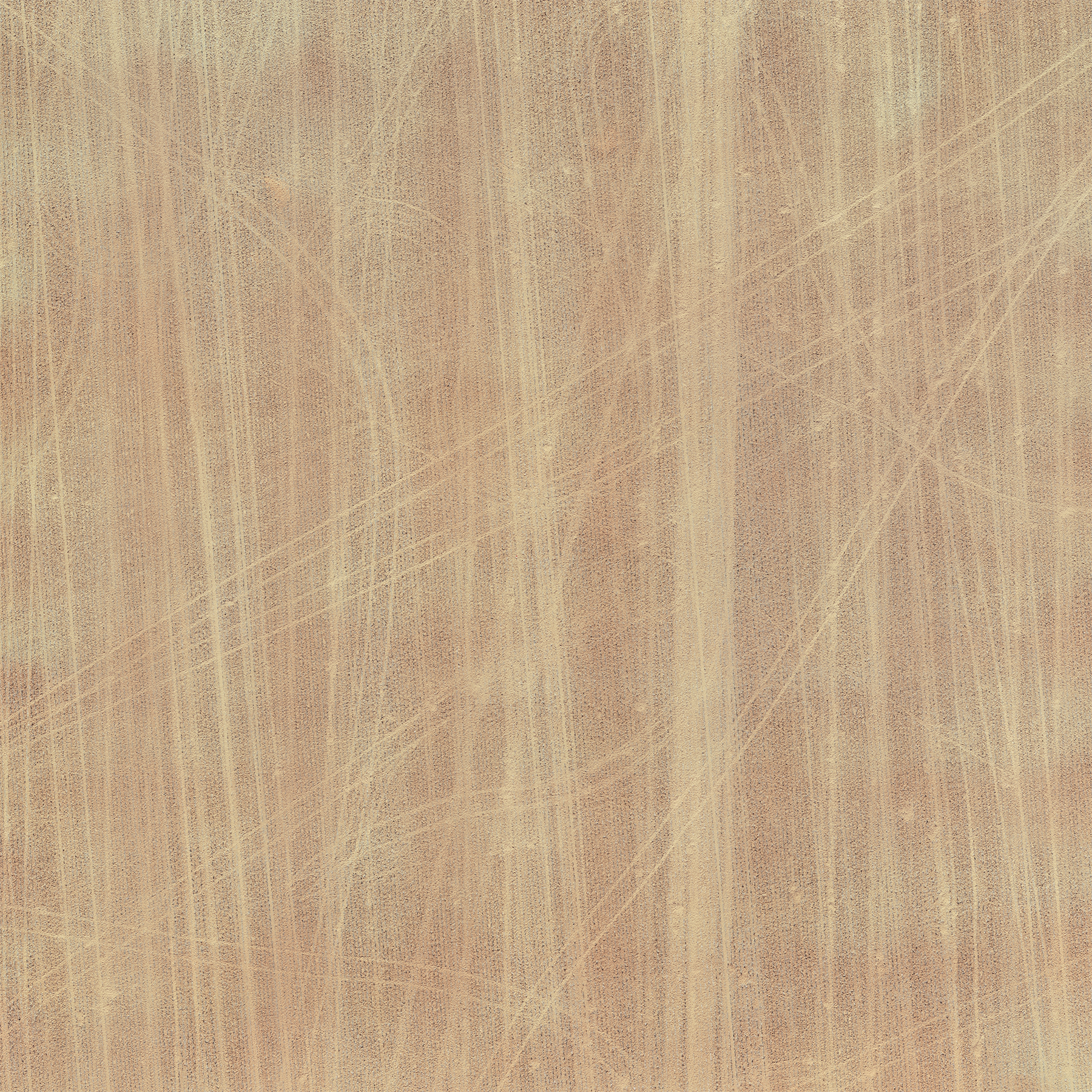
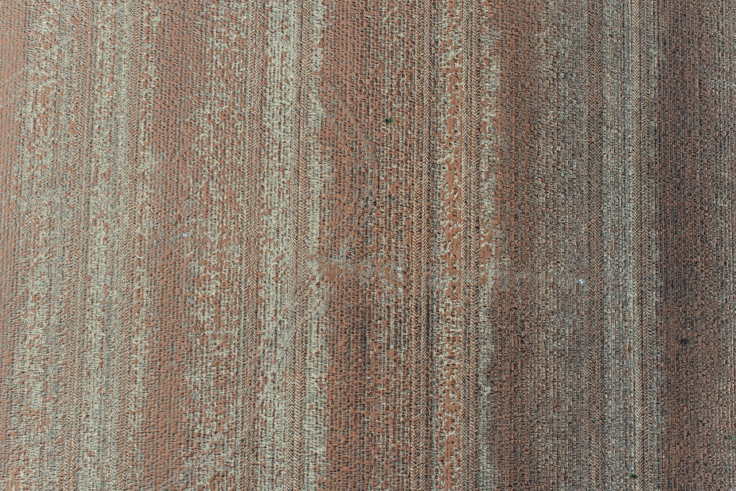
Victoria, Flat Calcareous Soil
Flat Calcareous Soil is a poor calcareous sandy loam flat that blew through 2018 and 2019 but established crop in 2020. Being near sheep feeders it has attracted reasonable grazing pressure and sheep tracks. Summer monitoring showed 3. Flat Calcareous Soil with ground cover of 27% and dry aggregate of 49% with a medium risk of erosion

360 Virtual Site
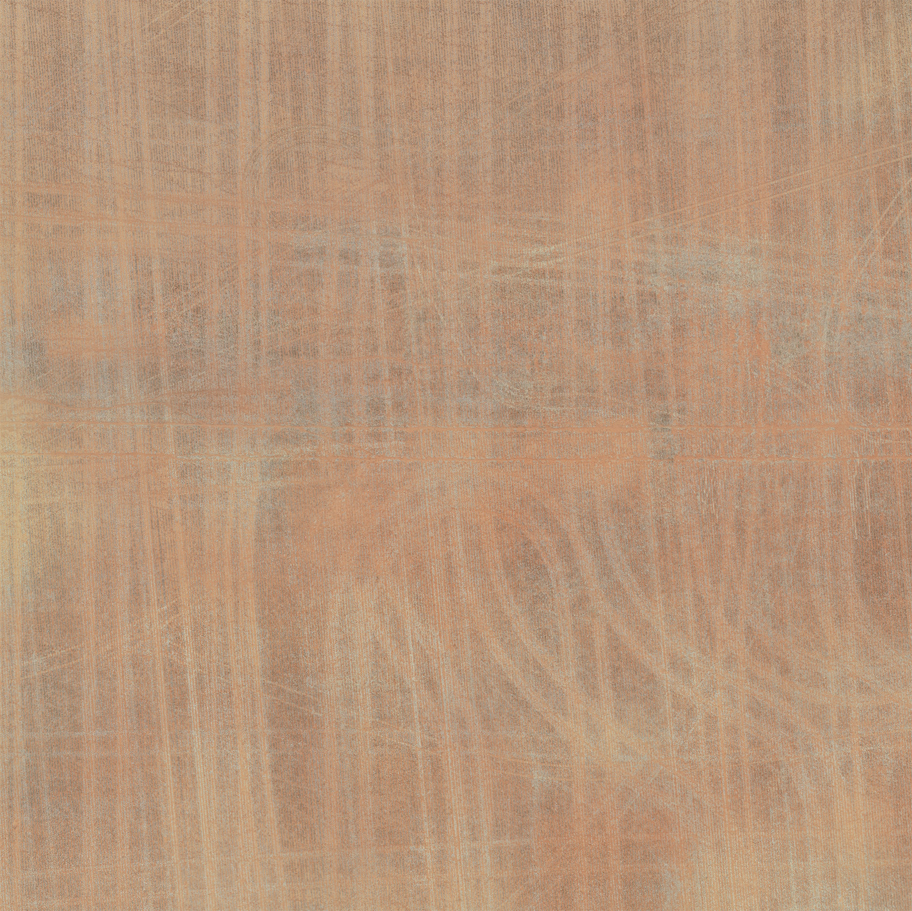
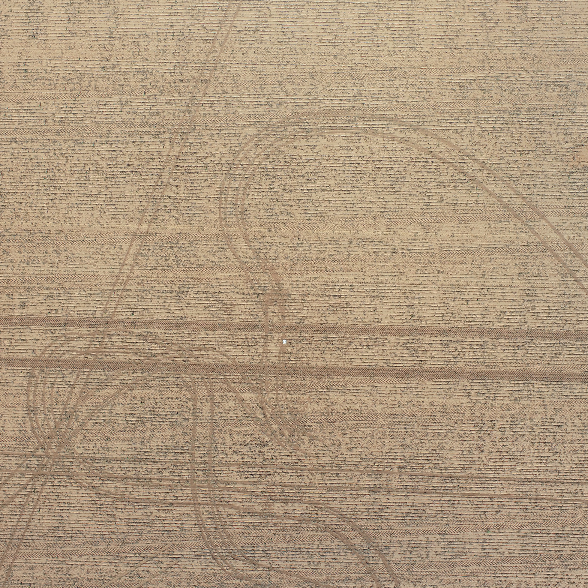
Victoria, Sandy Soil
Sandy Soil or Sandy Loam during Summer monitoring showed 4. Sandy Soil with ground cover of 48% and dry aggregate of 27% with a medium risk of erosion

360 Virtual Site
Acknowledgments

This project “Practical tactics to improve ground cover and ensure soil preservation following successive low rainfall seasons” (MSF2010-002SAX) has been funded by GRDC.
Thank you to our landholder collaborators Ben Pollard, NSW, and Chris Hunt, VIC, for their time and input.